California can look deceptively simple on a map. A first-time visitor may imagine combining San Francisco, Yosemite, Los Angeles, Big Sur, San Diego, and a desert park in a single short vacation, only to discover that the distances, climates, and travel times are much greater than expected.
The state stretches for hundreds of miles and includes beaches, redwood forests, deserts, mountain ranges, agricultural valleys, major cities, and remote public lands. That variety is exactly what makes California exciting, but it also means good planning matters.
This first-time California travel guide covers the practical basics that can make a first trip easier, from choosing regions and understanding driving distances to checking park access, weather, and road conditions before leaving.
Start by Choosing One or Two Regions
One of the most common mistakes first-time visitors make is trying to see too much. California is large enough that moving between major destinations can consume much of a vacation.
Instead of planning around the entire state, begin with one or two regions. A Northern California itinerary might combine San Francisco, nearby coastal areas, wine country, and the redwoods. A Central California trip could focus on Monterey, Big Sur, San Luis Obispo, Santa Barbara, and the Sierra Nevada. Southern California visitors might combine Los Angeles, Orange County, San Diego, Palm Springs, or Joshua Tree.
Visit California maintains an extensive collection of official California road-trip itineraries, which can help first-time travelers understand realistic route combinations. The site currently offers more than 70 curated road trips covering the state’s different regions.
If driving will be a major part of your trip, explore our Road Trips section for additional itinerary ideas.
Understand How Long California Drives Can Take
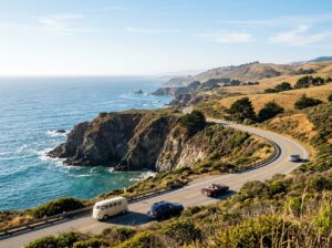
Distances between destinations often take longer than they appear on a map. Traffic around Los Angeles, the Bay Area, San Diego, and other urban centers can add significant time, while mountain and coastal roads may be slower because of curves, elevation, construction, or weather.
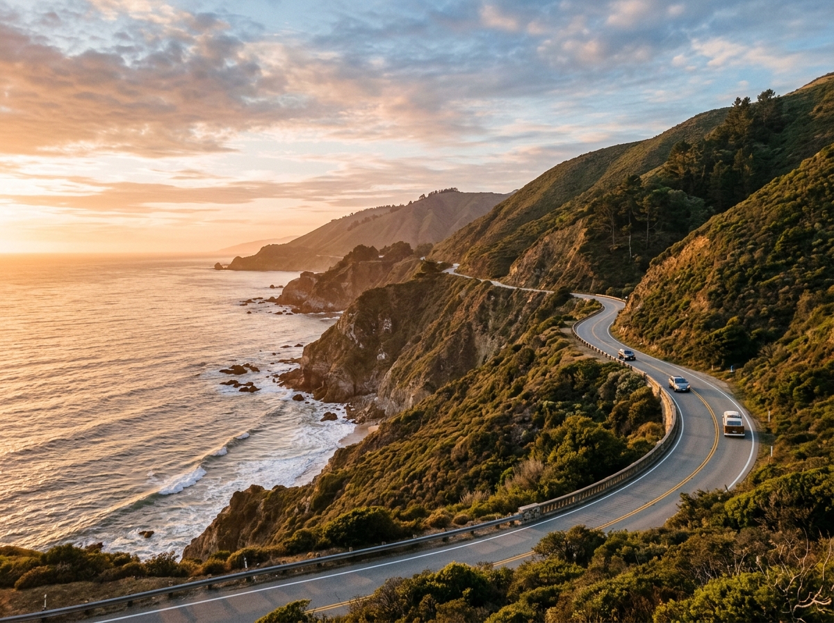
Highway 1 is a good example. The coastal route through Big Sur is famous for scenery, but it is not a road to rush. Scenic overlooks, narrow sections, slower traffic, and changing conditions make travel time difficult to estimate precisely.
Before any major drive, check Caltrans travel information for live traffic, highway restrictions, lane closures, and current road conditions.
Caltrans also provides a dedicated California Highway Information system for current restrictions.
Do Not Assume Highway 1 Is Always Open
California’s coastal highways are vulnerable to landslides, wildfire, storms, and emergency closures. This is especially important for travelers planning Big Sur.
For example, current Visit California travel alerts dated August 27, 2026 report a 40-mile closure of Highway 1 in the Big Sur area because of the Timber and Plaskett fires, with travelers advised to use U.S. 101 as an alternate route.
That illustrates why a route that was open when an itinerary was created may not be available when the trip begins. Always check conditions again shortly before departure rather than relying on an old blog post or saved map.
Our Travel Updates section can also help you keep an eye on changing California travel conditions.
Expect Several Climates on One Trip
California weather changes dramatically by location and elevation. A warm afternoon in Los Angeles does not tell you what conditions will be like in San Francisco, Yosemite, Lake Tahoe, or the desert.
Coastal Weather
California’s coast can be cooler than visitors expect, particularly in Northern and Central California. Fog, wind, and marine air can make mornings and evenings feel much cooler than inland areas only a short drive away.
Mountains
The Sierra Nevada can remain snowy well after lower elevations have entered warm spring weather. Higher roads and trails may remain inaccessible into late spring or early summer, depending on snowpack.
Deserts
California’s deserts can become dangerously hot during warmer months. Winter and the cooler parts of spring and fall are often more practical for hiking and sightseeing, but temperatures can still change significantly between day and night.
Layered clothing is usually more useful than packing for one expected temperature.
Plan National and State Park Visits in Advance
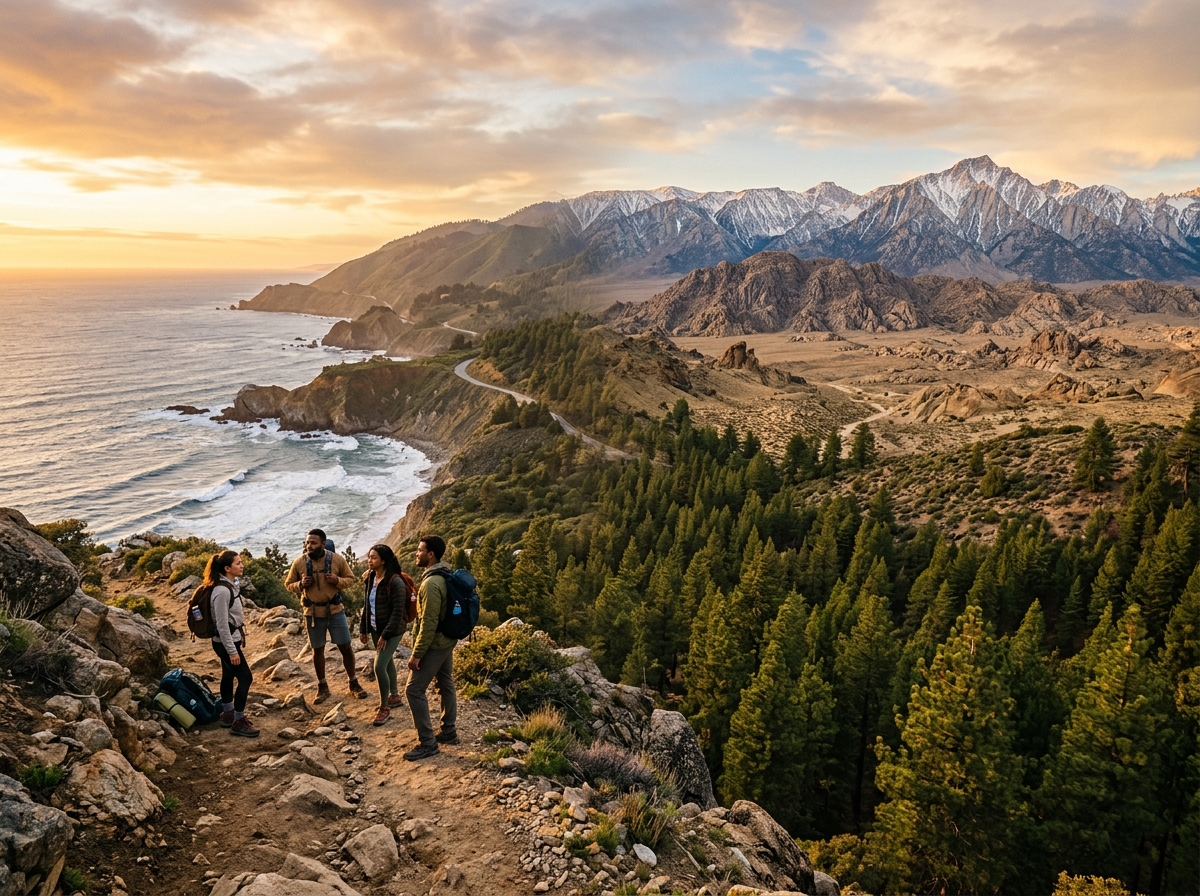
California contains an extraordinary concentration of public lands, including Yosemite, Joshua Tree, Redwood, Death Valley, Sequoia, Kings Canyon, and hundreds of state park units.
Popular parks can involve reservations, entrance requirements, campground bookings, seasonal road closures, or limited parking. Rules vary by destination and can change from year to year.
California State Parks recommends checking the current status of a park before leaving home because roads, trails, or other areas may become unavailable unexpectedly. Visitors should also confirm whether permits or reservations are required and check current weather conditions.
For more ideas involving protected landscapes, browse our Parks & Public Lands guides.
Give Yourself More Time Than You Think
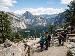
A California itinerary improves dramatically when it includes unscheduled time. Scenic overlooks, beaches, hiking trails, neighborhood restaurants, farmers markets, traffic delays, and unexpected discoveries can easily turn a planned one-hour stop into half a day.
For a week-long trip, visiting two main regions often produces a more enjoyable experience than attempting to cross the state repeatedly.
For example, a first visit might focus on San Francisco and the Central Coast, or Los Angeles and San Diego. Another trip could center on Yosemite and the Eastern Sierra.
California is a destination that rewards return visits. There is little advantage in seeing six places briefly when you could experience three places properly.
Know When You Need a Car
A car is useful for many California trips, but it is not always necessary for every day of the itinerary.
San Francisco has extensive public transportation, while parts of Los Angeles, San Diego, and Sacramento can also be explored without driving if your activities are concentrated in transit-accessible areas.
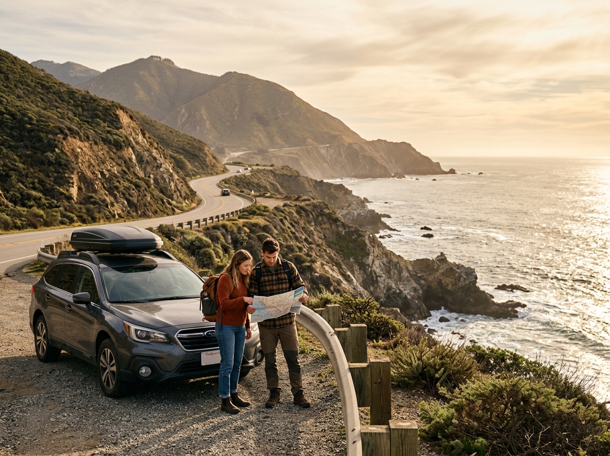
Once the itinerary includes Big Sur, smaller coastal towns, mountain regions, deserts, or remote parks, a vehicle becomes far more useful and sometimes essential.
If renting a car, consider the type of terrain on your itinerary. Ordinary passenger vehicles are suitable for most paved highways, but remote desert roads can require high clearance or four-wheel drive. California State Parks warns that many unpaved desert roads involve deep sand, rocks, ruts, or wash crossings and may not be appropriate for two-wheel-drive vehicles.
Pack for Variety Rather Than One Destination
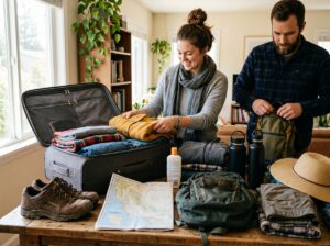
A flexible California packing list should account for changing conditions. Comfortable walking shoes, sun protection, layered clothing, a reusable water bottle, and a light outer layer are useful in many parts of the state.
If hiking or visiting remote areas, carry more water than you expect to need and download maps before losing cell service. Mountain travelers may need additional cold-weather equipment, while desert visitors should prioritize sun protection and hydration.
California State Parks emphasizes preparation, appropriate gear, weather checks, and destination-specific planning before outdoor recreation.
Mix Famous Sights With Local Areas
A first California trip will naturally include famous destinations. There is nothing wrong with seeing the Golden Gate Bridge, Yosemite Valley, Hollywood, or the Pacific coastline.
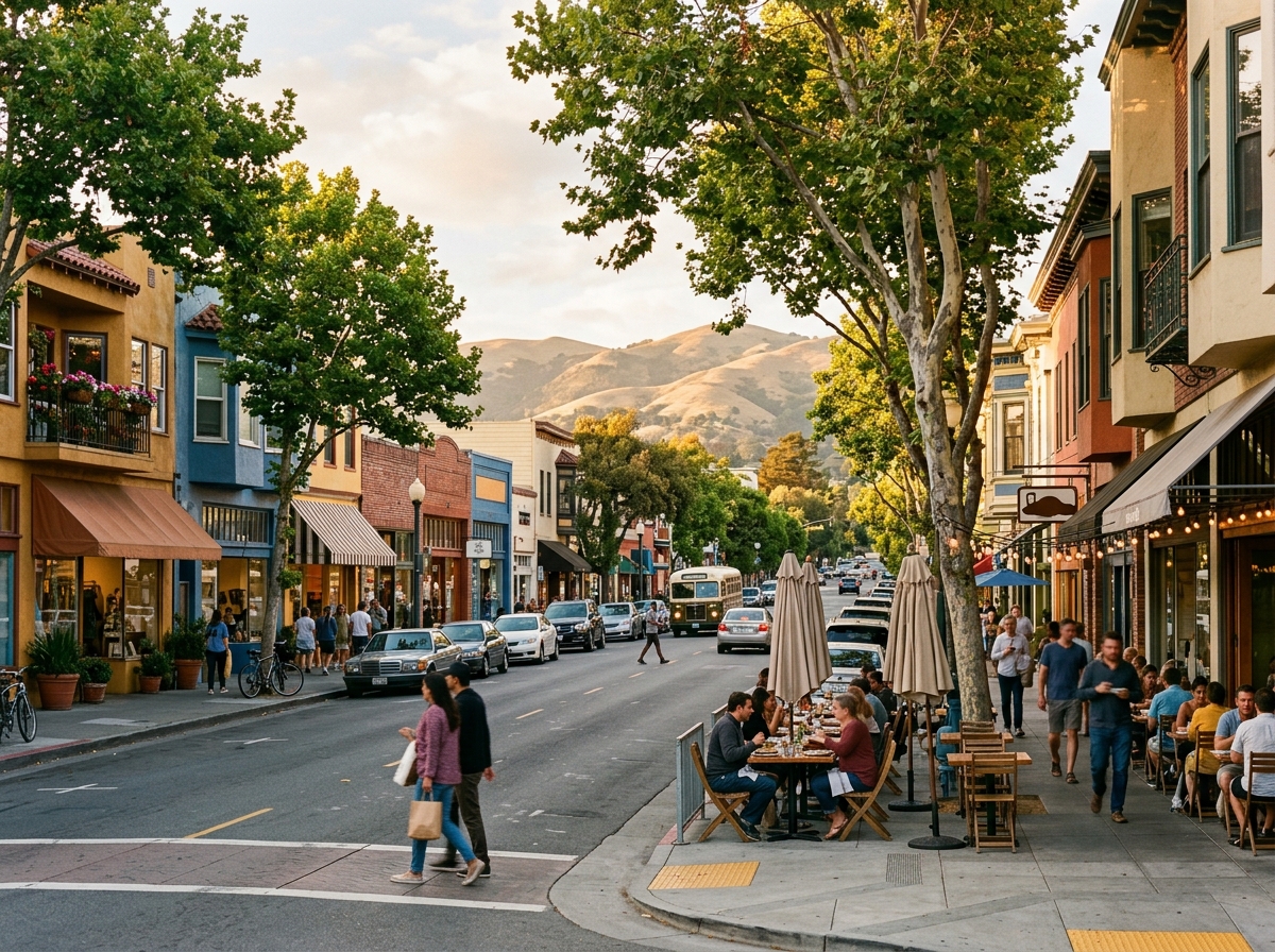
However, some of the state’s character becomes clearer when travelers also explore neighborhoods, small towns, markets, historic districts, and less-famous parks.
A morning at a major attraction can be followed by an afternoon in a neighborhood restaurant district. A Yosemite visit can be combined with a Sierra foothill town. A coastal drive can include smaller communities instead of only major cities.
For ideas beyond the largest attractions, visit our Cities & Neighborhoods section.
Check Current Conditions Before You Leave
California travel conditions can change quickly. Wildfires, winter storms, extreme heat, landslides, construction, flooding, and seasonal closures can affect roads and destinations.
Visit California maintains a current California travel alerts page that links travelers to road, weather, wildfire, and emergency information.
Checking conditions should happen more than once. Review them while planning, again several days before the trip, and once more before any major driving day.
Build a Trip That Fits California’s Scale
The best first California trip is rarely the one with the longest list of stops. It is the one that gives you enough time to understand each region.
Choose a manageable route, expect changing climates, leave room for delays, and verify park and highway conditions. Combine famous landmarks with local neighborhoods, outdoor landscapes, and smaller discoveries along the way.
California’s strength is its variety. One trip might revolve around the Pacific coast, while the next could focus entirely on mountains, deserts, historic towns, or food regions.
Trying to experience all of California at once is nearly impossible. Treat the first visit as an introduction, travel at a realistic pace, and leave something for the next journey through the Golden State.